Wamkelekile, Welkom
Human hand behind SA’s land-degrading dust storms
06 October 2020 | Story Helen Swingler. Voice Lerato Molale. Read time 9 min.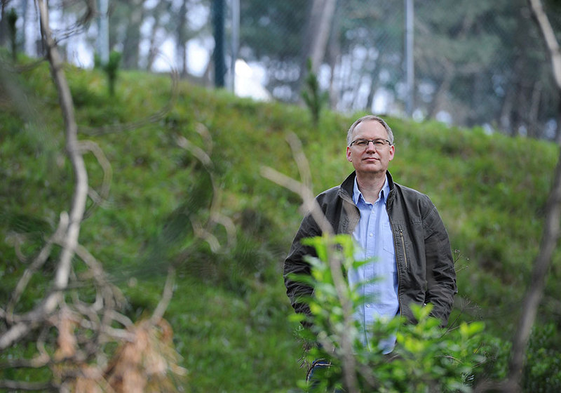
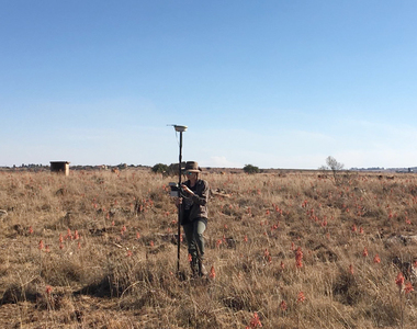
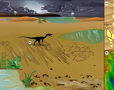
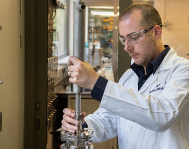
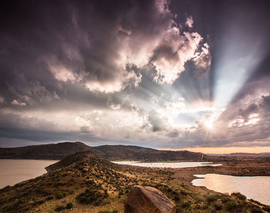
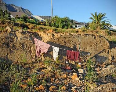
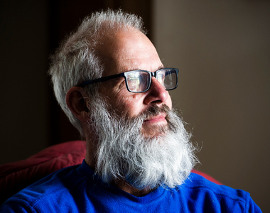
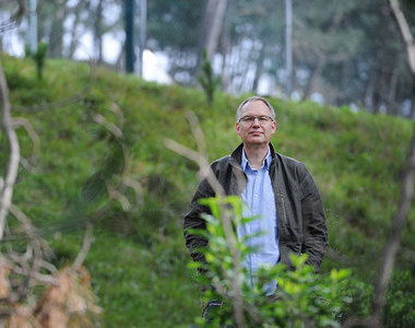
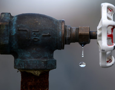
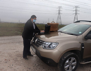
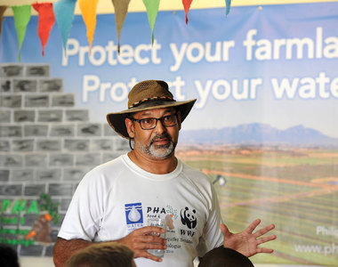
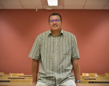
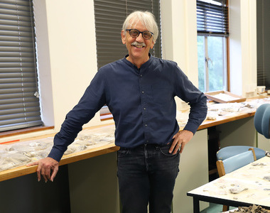
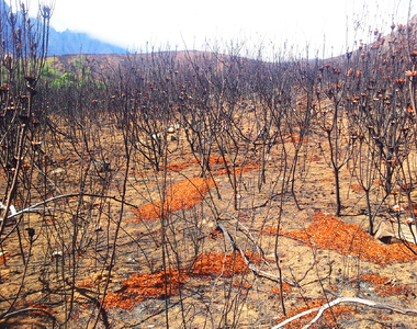
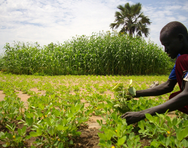
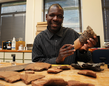
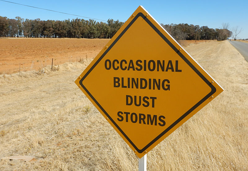
It was while setting up sampling and measuring equipment on a bare peanut field near Bultfontein in the Free State in August 2018 that Associate Professor Frank Eckardt got caught in a rolling dust storm. It turned the world around him orange and opaque. It was just what he’d been hoping for.
“Gusting winds; dust in the eyes, mouth and ears; and a drop in visibility. Everything gets coated, including equipment and the inside of the car,” said Associate Professor Eckardt from the University of Cape Town’s (UCT) Department of Environmental and Geographical Science.
“You often have to wait for this [the storm] to happen, which makes it very real.”
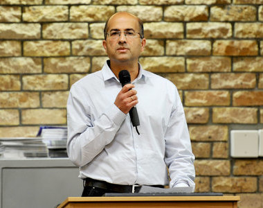
But Eckardt’s research now pinpoints a direct human cause for Southern Africa’s dust emissions. The topic of a new paper in the Aeolian Research journal titled “South Africa’s agricultural dust sources and events from MSG SEVIRI” points to windborne dust from large tracts of northern Free State croplands, which were decimated by the 2015/2016 drought.
He’s no stranger to these phenomena; the biggest dust storms cross oceans and continents to affect conditions thousands of kilometres away. West Africa is one of the world’s largest dust producers. Surface dust deposits from the Sahara are thought to build beaches in the Caribbean and fertilise the Amazon.
“Mineral dust may reach and cross oceans and act as a long-range natural mineral fertiliser,” Eckardt explained.
They’re also a health hazard. Soil dust or mineral dust can alter air quality and affect human health. On 24 June 2020 the Daily Maverick reported that NASA had captured images of a massive plume of Saharan dust that had settled on the Caribbean, creating a brown haze and sparking health warnings. Meteorologists were reporting the densest dust in 50 years.
Dust affects ecosystems: mineral dust deposition alters the downwind soil and groundwater quality. In some cases, it can provide nutrients that have been lost from agricultural areas and contribute these to other systems. Ocean productivity is also a positive knock-on effect of mineral dust transport.
Dust sources
In Southern Africa dust sources have been well documented. These disperse dust throughout the subcontinent and beyond. In the neighbouring dry countries of Botswana and Namibia, dust originates mostly from dry rivers and lakes.
“The West Coast produces dust from coastal pans, river valleys and deltas in both the Namib and Northern Cape regions,” Eckardt said. “Further east, mine tailings in and around Johannesburg are among the most studied dust sources in South Africa. This is due to systematic monitoring and the immediate impact on nearby urban air quality.
But South Africa is unusual because most of its dust originates from exposed agricultural areas – especially during drought. It’s a red flag for food security as the country relies on the Free State mielielande (maize fields) for staple foods.
Understanding dust emission dynamics originating from farming in drylands is crucial, said Eckardt.
Once lost, soil is hard to replace; its formation takes aeons, with erosion by wind and water usually outstripping soil production.
“It’s not only about responding to the impacts mentioned; studying the impact of dust emissions helps to secure food production in the best possible conditions.”
“The fine soil fraction that’s dispersed by windstorms adds quality to soil. It holds the nutrients and the moisture. You do not want to lose the fine (silt) fraction.”
In time, “deflated soils” become sandy and harder to farm.
“Sandy soils can absorb water but may not be good at holding moisture,” Eckardt added. “They may also hold [less] carbon and [fewer] nutrients.”
Though framers try to keep some stubble or cover crop on these denuded farmlands, efforts are patchy. And livestock (the province has large dairy herds) trampling and grazing in a degraded field can cause more damage.
“It’s not only about responding to the impacts mentioned; studying the impact of dust emissions helps to secure food production in the best possible conditions using these marginal lands – a resource that’s becoming increasingly scarce,” Eckardt said.
Pictures tell a story
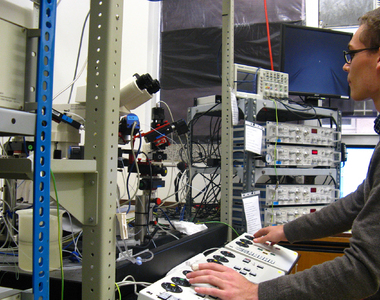
Dust plumes have a detectable range in satellite imagery of hundreds of kilometres. Eckardt’s work is underpinned by a satellite image record of more than a decade.
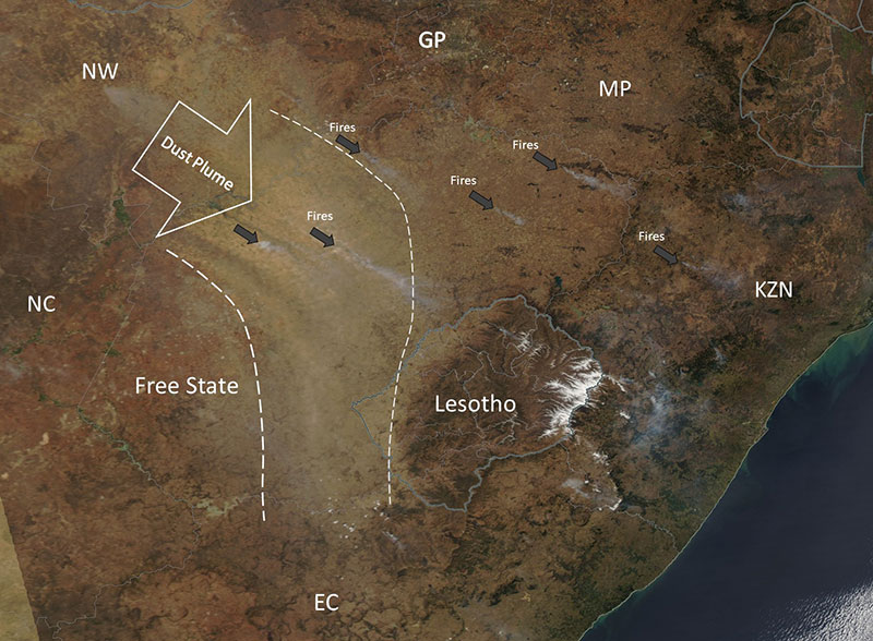
For his research paper, Eckardt used the Meteosat Second Generation Spinning Enhanced Visible and Infrared Imager image record from 2006 to 2016, examining 334 497 images.
“That’s a lot of images!”
From these images, Eckardt can see dust plumes being initiated, growing and travelling – sometimes for many hours.
“The resolution or detail is quite coarse, but we can spot the sources with an accuracy of a few kilometres. Our main interest though is on the source areas, which appear to be persistent and relatively small – on a national scale at least. The western Free State is clearly the most emissive dust-producing area in South Africa.”
The Free State’s dust emission season from June to January overlaps with the dry season and coincides with the maize harvest period.
“2015 and 2016 saw almost half of all event days in the 11-year record, which was matched by a severe drought index and stronger winds.”
These showed 178 discrete dust plumes on 75 dust-producing days, originating largely in the Free State, north of Bloemfontein. Landsat-derived national geospatial data suggested that emission areas consist mostly of grass and low shrublands, as well as commercial rainfed agriculture.
“The satellite images we use are generated every 15 minutes from a geostationary vantage point. That means we can see the earth’s surface and atmosphere four times an hour for 24 hours. We also use thermal bands that can see the earth’s surface, as well as clouds and dust, without light being present.
Eckardt said that this period was accompanied by a below-average vegetation coverage of the cropland areas. The then Department of Agriculture, Forestry and Fisheries’ crop data reported a notable decline in Free State maize cover from 1.2 to 0.6 million hectares and an increase in fallow land from 140 000 to 790 000 hectares over the same time span.
Four-partner collaboration
The research is also part of a four-year, four-partner South African–Swiss project with UCT, the University of Pretoria, the Agricultural Research Council and the University of Basel. This will look at the environmental thresholds for the generation of dust (wind, soil moisture, soil crust) in relation to farmland management. It will also study the extent to which farmland dust sources affect ecosystem services, public health and, potentially, climate.
“This research aims to fill this knowledge gap by using a holistic and interdisciplinary approach spanning geomorphology, land management and microbiomics.”
The four work packages will be synthesised into a fifth, leading to the publication of a holistic scientific contribution on South African cropland dust emissions that will identify farmland management best practices and inform policy.
Eckardt and his colleague at the Department of Environmental and Geographical Science Johanna von Holdt will focus on the work package that encompasses source detection from satellite data, which informs field site selection. UCT PhD student Nolusindiso Ndara will look at the value of agricultural dust sources if these were to be reverted to grasslands.
The University of Basel will work with a portable wind tunnel to estimate dust emission thresholds and the benefits of soil crusts to protect surfaces from deflation.
 This work is licensed under a Creative Commons Attribution-NoDerivatives 4.0 International License.
Please view the republishing articles page for more information.


Listen to the news
The stories in this selection include an audio recording for your listening convenience.