Wamkelekile, Welkom
UCT trio on epic journey down the Orange River
11 February 2013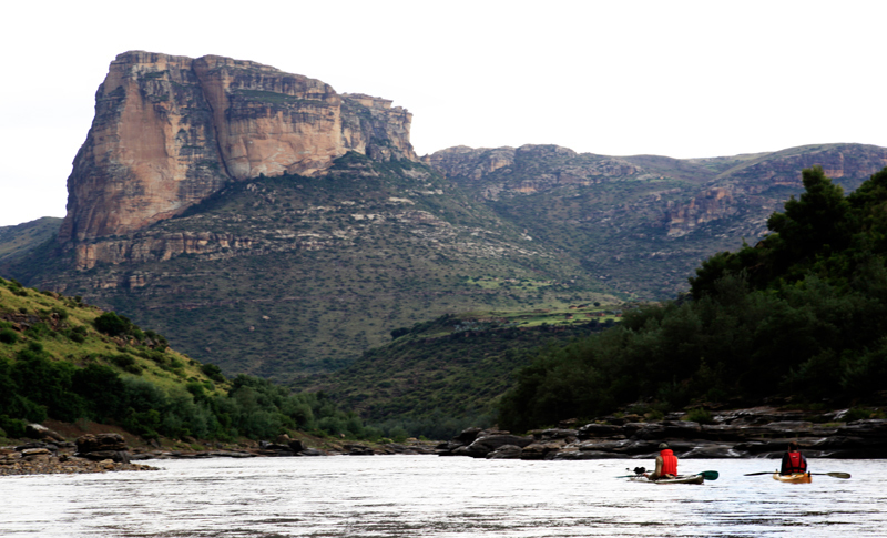
A trio of UCT researchers is paddling the length of the Orange River (!Gariep) to conduct a mega-transect of the waterway - all 2 200km to the Atlantic.
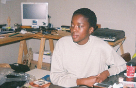
The two-month Senqu2Sea expedition will take the trio from Qacha's Nek in Lesotho to Alexander Bay. The three, PhD student James Puttick, recent MSc graduate Sam Jack and Ian Durbach, a statistical sciences lecturer, aim to paddle 40 km a day.
The transect will provide an ecological census of the natural vegetation and ecosystems along the country's biggest waterway - and test the health of its myriad tributaries and water systems. The expedition is being supported by UCT's Plant Conservation Unit, the Mazda Wildlife Vehicle Fund and the National Research Foundation's South African Environmental Observation Network (SAEON), Arid Lands Node.
Puttick studies vegetation and climate change in eastern South Africa. He is taking photographs from his kayak at 2-km intervals, and also from various elevations along the banks, to document the changing vegetation and land-use impacts. The GPS positions will allow others to take pictures later for historical comparisons, providing a mirror of landscape changes and development along the river.
To test the river's health the team will collect diatom samples for a project sponsored by SAEON and led by Jonathan Taylor at North West University. Roger Diamond, who leads an oxygen isotope project in UCT's Department of Geology, will study these water samples collected from the main tributaries and from the Orange itself, information that will sketch a picture of the different conditions in the tributaries' watersheds during rainfall events.
 This work is licensed under a Creative Commons Attribution-NoDerivatives 4.0 International License.
Please view the republishing articles page for more information.