Wamkelekile, Welkom
Data science to support cyclone relief efforts
10 April 2019 | Story Supplied. Photo Denis Onyodi/IFRC-DRK-Climate Centre, Flickr. Read time 3 min.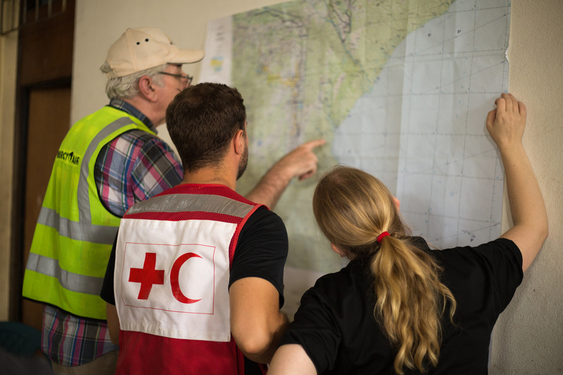
With updated maps an integral part of emergency response planning in humanitarian disasters, University of Cape Town (UCT) eResearch has partnered with the Humanitarian OpenStreetMap Team (HOT) and Missing Maps to support the disaster relief operations following Cyclone Idai, via remote mapping.
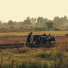
The areas hit by the cyclone, one of the worst humanitarian crises in Mozambique’s recent history, are unfortunate examples of developing world regions where accurate maps simply don’t exist, according to UCT eResearch director Dr Dale Peters.
To help address the exigency, UCT eResearch has joined forces with the two organisations in what Peters called a “classic example of how data science can support development”.
In effect, they are putting to work delegates to the eResearch Africa 2019 conference, being held at UCT next week. They will, via online tools, be able to make a meaningful difference to the distribution of aid to those whose lives have been shattered by the cyclone.
Enabling research discovery
UCT eResearch is a partner and broker, working with researchers to find and develop the most efficient information technology (IT) solutions to enable research discovery in the 21st century. The theme of their upcoming conference is data science for development (DataScience4D).
“These online tools allow the participants of a conference based in Cape Town to sit down and make a meaningful difference to the distribution of aid.”
Peters said they are responding to UCT Chancellor Graça Machel’s appeal to mobilise resources to contribute to the emergency relief effort. They decided to answer the call by turning the focus of the conference to remote mapping.
Missing Maps, she explained, uses remote volunteers to trace maps over satellite pictures with a tool called OpenStreetMap. These maps are then validated by remote experienced mappers and by local volunteers in the areas concerned.
“These online tools allow the participants of a conference based in Cape Town to sit down and make a meaningful difference to the distribution of aid.”
The mapping uses the unique hashtag #mappingidai so that UCT contributions can be tracked. Conference participants will also join a three-hour mapathon on the final day of the conference.
- Virtual volunteers are welcome to join the effort. Register online.
- Registrations for eResearch Africa 2019: DataScience4D are still open.
- Register now to find out more about how data scientists contribute to real-world problems in public health, education, sustainable energy and climate change.
- See the conference programme.
 This work is licensed under a Creative Commons Attribution-NoDerivatives 4.0 International License.
Please view the republishing articles page for more information.


Research & innovation